One of the youngest national parks in the USA is situated between San Francisco and Los Angeles. The range of ancient volcanoes has fragmented into hundreds of smaller monoliths, peaks, and cliffs, crisscrossed by 31 mi of hiking trails offering breathtaking views.
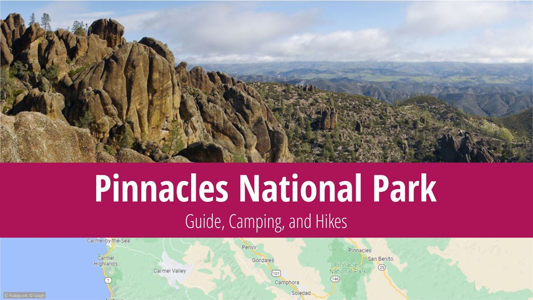
Table of Contents
- About Pinnacles National Park
- What to See and Do in Pinnacles National Park
- Best Time to Visit Pinnacles National Park
- Entrance Fees for Pinnacles National Park
- Directions to Pinnacles National Park
- Accommodation in Pinnacles National Park
- Tips and Advice Before Visiting Pinnacles National Park
- Photos of Pinnacles National Park
About Pinnacles National Park
Located in California, in the Salinas Valley mountain region, Pinnacles National Park lies about 149 mi southeast of San Francisco. The park, relatively small with an area of just 42 sqmi, primarily comprises mountains, rocks, and trails, making it an ideal destination for hiking enthusiasts. In 2021, the park welcomed 348,857 visitors.
Pinnacles is among the newer national parks in the USA, receiving its designation on January 10, 2013. Before this, it was considered a national monument. The origin of the park’s name is quite straightforward; “pinnacle” translates to “rock pinnacle” in English. The park houses many such pinnacles as remnants of a 23-million-year-old volcano. The highest point in the park is North Chalone Peak, at 3,307 ft.
The fauna of the park is dominated by prairie falcons, found here in larger numbers than anywhere else in North America. Alongside them, the park hosts red lynxes, American cougars, coyotes, wild turkeys, and California quails. The flora primarily consists of rosebushes, while the trees are predominantly pine and oak.
What to See and Do in Pinnacles National Park
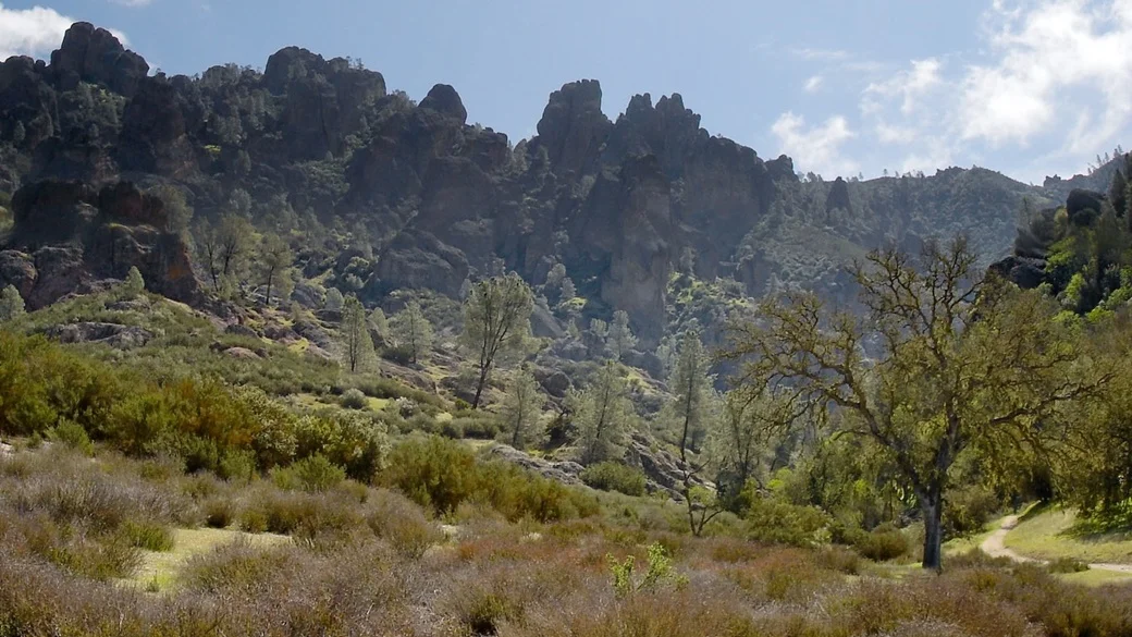
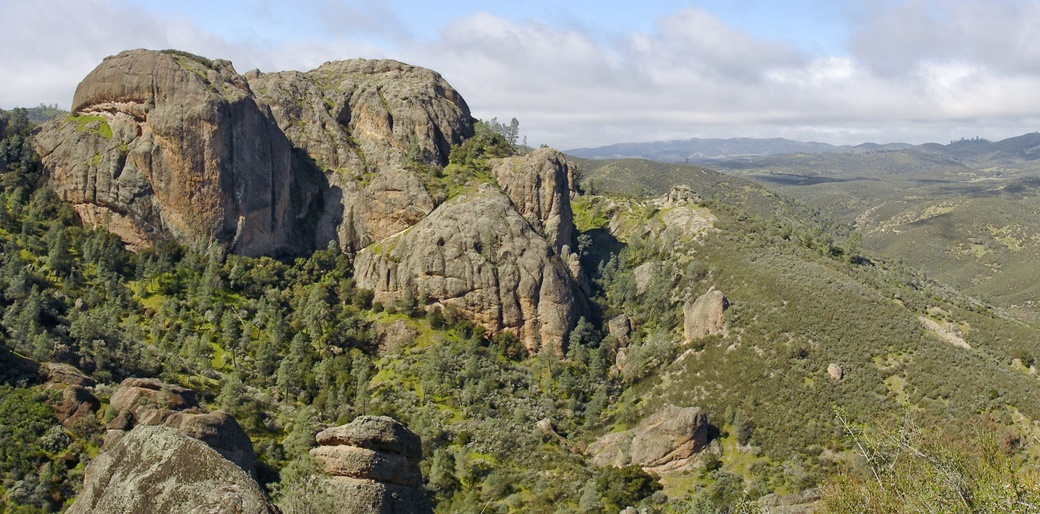
The principal attraction of Pinnacles National Park is the rock formations from which it gets its name. A close second is the Balconies Cave, formed when giant boulders collapsed into the original canyons. To explore these, you’ll need a flashlight, warm clothes, and sturdy shoes.
Another notable cave is the Bear Gulch Cave. However, to protect the resident bats, it remains closed from mid-May to the end of July. Before planning a visit, it’s advisable to check the park’s website for the current status of the caves.
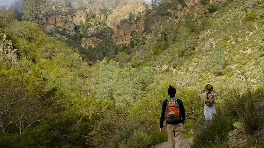
There are about 31 mi of hiking trails within Pinnacles.
Trails from Pinnacles Campsite
- Pinnacles Visitor Center to Bear Gulch Day Use Area
This one-way trail is 2 mi long and can typically be covered in about an hour and a half. The trail features an elevation gain of 299 ft. - Pinnacles Visitor Center to South Wilderness Trail
The round trip of 7 mi can be completed in 3 to 4 hours. The trail has minimal elevation gain, providing an excellent opportunity to observe wildlife in the park. - Pinnacles Visitor Center to Balconies Cave
This round trip trail of 9 mi will take approximately 4-6 hours. Enjoy views of the largest rock formation in Pinnacles National Park along the way. Remember to bring a flashlight.
Trails Starting at Bear Gulch Day Use Area
- Moses Spring to Rim Trail Loop
The entire loop, at 2 mi, takes about an hour and a half to complete. It is suitable for children or for those short on time but still wanting to see both rock formations and caves. Keep in mind that Bear Gulch Cave may be closed. - Condor Gulch to High Peaks Trail Loop
This challenging 5 mi trail with nearly 1,312 ft of elevation gain will take 3 to 5 hours of your time, but it will allow you to pass through the heart of the park. - High Peaks to Bear Gulch Loop
This strenuous loop of 7 mi with an elevation gain of 1,424 ft is particularly beautiful in the summer due to blooming flowers, and it takes an average of 4-5 hours to complete. - Condor Gulch Trail
This one-way trail is 2 mi long, with an elevation gain of 1,099 ft, and takes 1 to 1.5 hours to walk. The trail offers spectacular views of the High Peaks. - Chalone Peak Trail
This very challenging 9 mi trail with an elevation gain of 2,041 ft leads you to the highest point of Pinnacles National Park, North Chalone Peak. The vistas of the surrounding valley are well worth the effort.
The Trail from Old Pinnacles Trailhead
- Old Pinnacles Trail to Balconies Cave
The round trip is 5 mi long, and while it has almost no elevation gain, it will still take you 3 to 5 hours.
Trails from Chaparral in the Western Part of the Park
- Balconies Cliffs – Cave Loop
This trail is 2 mi long, with almost no elevation gain, and typically requires an hour to an hour and a half to complete. The trail first leads to Balconies Cave, then back to the Old Pinn Trail and finally returns to the cave. - Juniper Canyon Loop
This challenging 4 mi loop, with an elevation gain of 1,214 ft, takes 2 to 3 hours to complete. It leads into the heart of the national park; at the highest point, you will navigate a section called Steep and Narrow before descending back to the Tunnel Trail. - North Wilderness Trail
This challenging 9 mi trail, with an elevation gain of 1,020 ft, requires 5 to 8 hours to walk. It is an unmaintained trail with a fairly significant elevation gain. - High Peaks to Balconies Cave
With a total length of 8 mi, an elevation gain of 1,539 ft, this trail typically requires 4 to 5 hours to walk.
Pinnacles National Park is an excellent spot for rock climbing. Certain regulations must be adhered to, particularly those to protect the rock formations and their resident wildlife. For instance, from January to July, some areas may be closed to protect nesting falcons and eagles.
Visitors can participate in free ranger programs, typically held in the summer or fall. Park rangers organize lectures, guided hikes, and night hikes.
Best Time to Visit Pinnacles National Park
Pinnacles National Park is open all year, with most visitors flocking to the park during the summer months when temperatures can rise to 95 °F. The summers are generally hot and dry, with autumn and spring offering the best climatic conditions for a visit to the park.
Conversely, temperatures can fall below zero in January, although they’re usually rather mild and rainy.
Average Temperatures and Visitor Numbers in Pinnacles National Park
The average temperatures in Pinnacles National Park, along with visitor numbers, are based on a 2017-2021 average, and the data source is the National Park Service.
| Max Temp | Min Temp | Precipitation Days | Visitors | Popularity | |
|---|---|---|---|---|---|
| January | 61 °F | 43 °F | 7.6 | 13 921 | 🟨🟨 |
| February | 63 °F | 45 °F | 8.0 | 19 066 | 🟨🟨 |
| March | 64 °F | 46 °F | 7.2 | 27 731 | 🟧🟧🟧 |
| April | 68 °F | 48 °F | 4.0 | 28 708 | 🟧🟧🟧 |
| May | 72 °F | 52 °F | 1.6 | 26 488 | 🟧🟧🟧 |
| June | 77 °F | 55 °F | 0.4 | 24 276 | 🟧🟧🟧 |
| July | 81 °F | 57 °F | 0.1 | 18 968 | 🟨🟨 |
| August | 81 °F | 57 °F | 0.2 | 16 658 | 🟨🟨 |
| September | 81 °F | 55 °F | 0.6 | 15 056 | 🟨🟨 |
| October | 75 °F | 52 °F | 2.3 | 15 565 | 🟨🟨 |
| November | 66 °F | 46 °F | 5.2 | 16 655 | 🟨🟨 |
| December | 61 °F | 43 °F | 7.3 | 16 332 | 🟨🟨 |
Entrance Fees for Pinnacles National Park
The entrance fee for the park is $30 per vehicle, which covers all passengers for a duration of 7 days. For motorbikes, the fee is $25. The individual entry fee (for pedestrians) is $15.00 per person, which also lasts for 7 days.
If you’re planning to visit multiple national parks during your journey across the USA, consider purchasing the America the Beautiful pass. It allows you access to all USA national parks for one year from its first use. It costs $80.
Directions to Pinnacles National Park
The most convenient mode of transportation to the park is by car, as there aren’t any bus services leading to Pinnacles. There are two entrances you can use. The western entrance is recommended if you’re traveling from Los Angeles or San Francisco, while the eastern entrance is preferable if you’re coming from Death Valley. It’s better to opt for the latter since the park can’t be driven through!
For your convenience, I’ve included travel times from nearby cities:
| From / To | Distance | Driving Time | Map |
|---|---|---|---|
| Las Vegas | 475 mi | 7 hours 30 minutes | View Route |
| Los Angeles | 290 mi | 4 hours 45 minutes | View Route |
| San Francisco | 150 mi | 3 hours | View Route |
Parking is always available at the visitor centers located in both the west and east areas of the park. On summer weekends, parking can become a challenge, so it’s wise to rely on the free buses that traverse various parts of the park.
Accommodation in Pinnacles National Park
🏨 Hotels
There are no hotels directly inside Pinnacles National Park. If you’re entering the park through the west entrance, you can find accommodations in motels in the towns of Soledad and King City along Highway 101. Near the eastern entrance is the town of Hollister, which also has several lodging facilities.
⛺ Campsites
Pinnacles Campground, located within the park, can only be accessed through the east entrance gate. It offers a total of 149 tent sites at $39 per night and RV sites starting at $59 per night. The camp is equipped with showers, waste containers, and a fire pit for barbecues. Fires may be prohibited in the summer due to high fire risk, which will be communicated directly at the campsite.
You can reserve a site in advance at Recreation.gov.
Tips and Advice Before Visiting Pinnacles National Park
ℹ️ Visitor Center
The park’s main visitor center is situated next to the sole campground, just past the east entrance. It is open daily from 9:30 am to 5 pm and provides additional information, advice, tips, and a shop with essential souvenirs.
👍 Good to Know
The park offers a free shuttle service to navigate within the park. These buses typically begin operations in the spring months. I recommend checking the park’s website for this service before your visit.
As the park can become extremely hot, particularly in the summer, remember to hydrate, bring ample water and sunscreen. Pack a few extra layers of clothing in your backpack. While it’s warm when you’re walking the trails, it can get rather cold once you enter the cave. A headlamp or at least a flashlight on your phone will prove beneficial for such situations.
Before heading to the park, I recommend downloading the entire Pinnacles area to an offline Google Map, and saving the park map to your phone as a precaution.
Photos of Pinnacles National Park
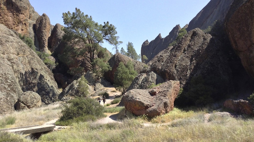
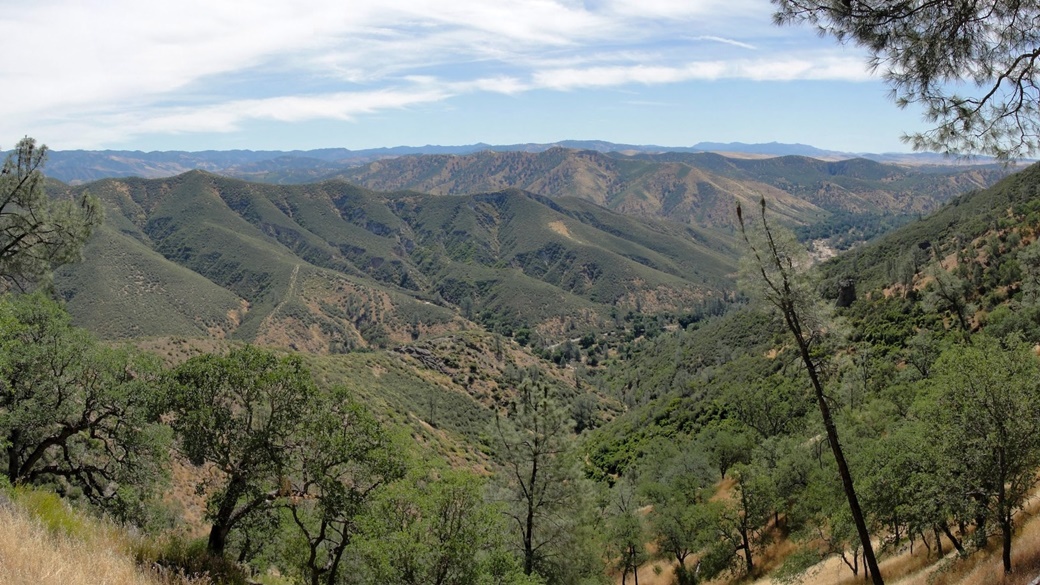
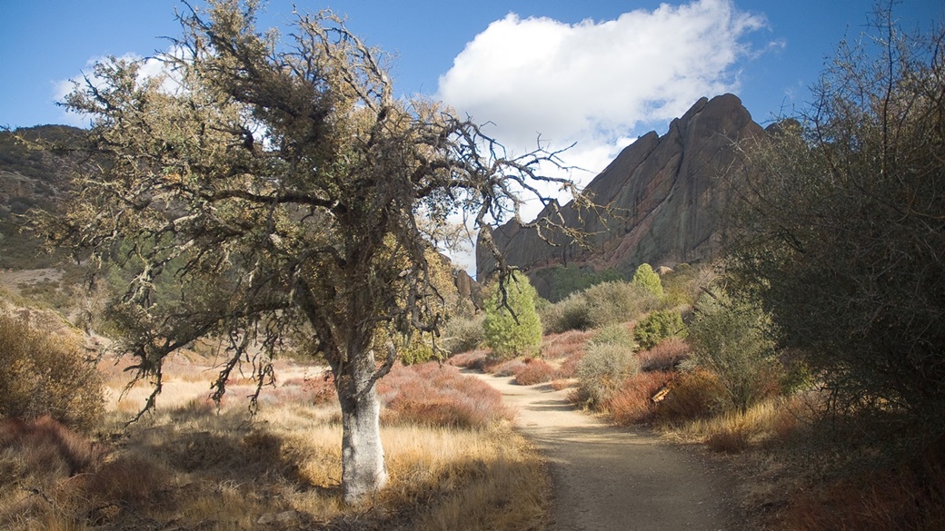
US National Parks
- National Parks of the USA – Map, List and Annual Pass
- America the Beautiful Pass 2025 – How It Works, Cost & Parks
- Timed-Entry Reservation for US National Parks (2025 GUIDE)
Travel Guides to USA National Parks

 10 Best Photo Places in the USA



Contribute with Your Question or Personal Experience